A ceilometer in a paddock ... what is it?
A place to keep cows, but that's not important right now (if you need help with the reference ... see here)
 |
| By Worldview999 (Own work) [CC BY-SA 3.0], via Wikimedia Commons |
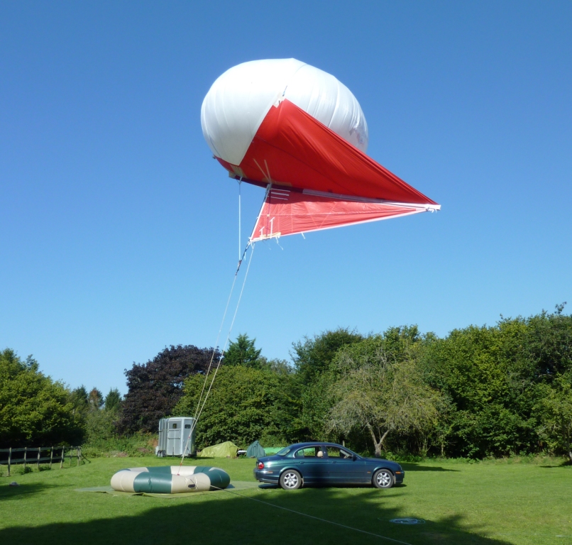
Of course there are ways to get information from higher in the air and we'll be using one of those in this project (helikite) which we'll cover when it's operating in Rangiora but now I'd like to talk about another piece of kit that we have deployed in the town.
A Ceilometer. Ceilometers are intended to measure the ceiling, which means the height of the lowest cloud. These sensors send a light pulse and measure its reflection from clouds and aerosol layers to obtain this height.
 |
| Ceilometer installed near the AWS site in Rangiora. Photo by Sam Edwards. |
This unit will stay in the south east part of Rangiora until the end of the campaign and we hope to use the data to explain the concentrations observed by the ODINs, the PACMAN and ECan's $PM_{10}$ measurements.
Comments
Post a Comment